The University of Leicester is to work with British firm High Efficiency Heating UK Ltd in a project that will use satellite data to locate the best sites to deploy micro-hydropower turbines.
The Technology Strategy Board has awarded a UK£120,400 grant to the University and HEH for a 10 month research project - ISMORTASED (Identification of Sites for Micro-hydropower On Rivers Through Applied Satellite and Environmental Data) Project. The project will utilize the expertise of the University of Leicester in Geographical Information Systems (GIS).
“Currently, to determine the viability of a stretch of river or stream for micro-hydro power, the process is expensive and complex," said Andy Baxter, managing director of HEH. "At present there's a significant fee to pay to determine whether a particular stretch of river will yield hydropower - and this is before socio-economic factors and due processes such as planning application are taken into account."
HEH has developed a long-term strategy to develop greener energy solutions around micro-hydropower generation. An initial engagement with the University's Chemistry Department's part ERDF funded G-STEP Project led to project definition and a successful collaborative research and development funding application for the UK's innovations agency Technology Strategy Board's recent 'Solving Business Problems with Environmental Data' competition.
Dr Kevin Tansey, from the Unviersity's Department of Geography, who is leading up the research team, said: 'We are very excited that the project has been funded. During the ten-month project life the research group will develop a GIS prototype and combine as many as two dozen data sets to evaluate sites. Some of these data sets will come from satellites or aircraft. A GIS is a very powerful tool as you can simulate the optimisation process multiple times until you get the right answers."
Research assistant Jonathan Lee has started the task of identifying and sourcing information, the work of developing the prototype tool being built on knowledge of what data is available and how it fits together.
G-STEP's Ed Lamb said: "The application of novel approaches, including satellite data, could make site identification quicker and less expensive. If successful this will benefit HEH, community stakeholders, and us all by making smaller scale 'greener' power technologies more viable."
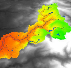
Image: 3D image of Tame Valley catchment


